|
A unique approach to Civil War Mapping One Historical Map for Each and Every Day of the War |
|
| Home | Custom Maps | Interactive Maps | Sample Maps | Contact Us | Help |
Better Browser Compatibility Scaleable and zoomable With popup information for battles, armies, and more |
 |
companion web site worldhistorymaps.com One map |
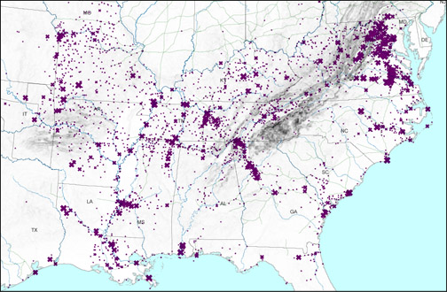
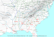
Interactive MapsOne Map for Every Day of the Civil War
DVD-ROM with a complete set of 1,694 maps for the entire country, the War Zone, each of the Confederate states except Texas, each of the Border States. The DVD-ROM also has detailed individual state and unit (army level) information listing who was in command and campaigns and battles they participated in. |
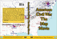
Map MovieDaily maps as a movie with narration
From the map library and GIS database of World History Maps; the Civil War comes alive. Watch the armies maneuver. See where the great battles were. Follow the generals. Track the force levels and deaths. From the election of 1860 to last surrender. See the Whole War from a new perspective. This is a truly unique offering that you will watch again and again seeing something new each time. |
|
|
Atlas of the American Civil War
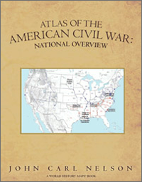
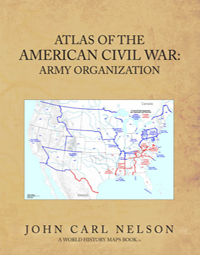
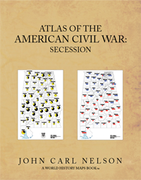
See the Civil War as never before in John Carl Nelson's fascinating Atlas of the American Civil War, an exciting new series of progressively more detailed atlases with maps based on GIS technology. National Overview concentrates on the big picture behind the war, from the campaigns, operations, and conventions to the major battles. Army Organization gives you a birds-eye view of all the army departments as never before seen. Secession shows the details of the secession movement within each of the slave states. You can follow conventions and see how sentiment changed after Fort Sumter.
|
|
|
|